James River Crossings
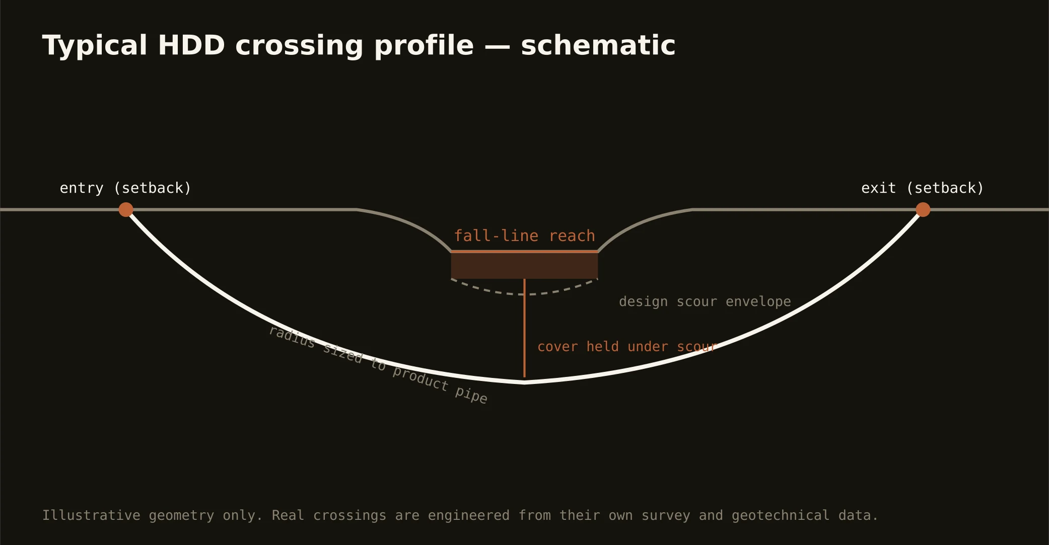
The James is the metro's spine and its split personality: above the fall line a rocky piedmont river dropping through the downtown rapids, below it a tidal coastal-plain waterway widening toward the port — and a crossing's engineering belongs entirely to which reach it's in. Fall-line-and-above shots are rock work: profiles drilled into granite beneath a bouldery channel, precision that fresh rock rewards, entry and exit set back from banks the whole city treats as parkland. Tidal-reach shots are soft-country work: deeper alluvium and marls, buoyancy math, and navigation interests joining the stack as the river becomes working water.
The authority picture layers accordingly: state waterway and water-quality review with Chesapeake Bay-watershed seriousness, federal navigation interest on the tidal reaches, the riverfront park system's stewardship through the city — where the James River Park is the metro's proudest possession — and the road or rail owner overhead. Our quotes name the stack for your actual reach and schedule to its longest honest clock.
The same doctrine covers the metro's named tributaries — the Appomattox at Petersburg's own small fall line, the Chickahominy's swampy east-side corridor, Falling Creek and the urban streams — where reach logic still applies at smaller scale: rock manners upstream, wet manners downstream, containment on both banks, and the response plan written before the pilot turns.